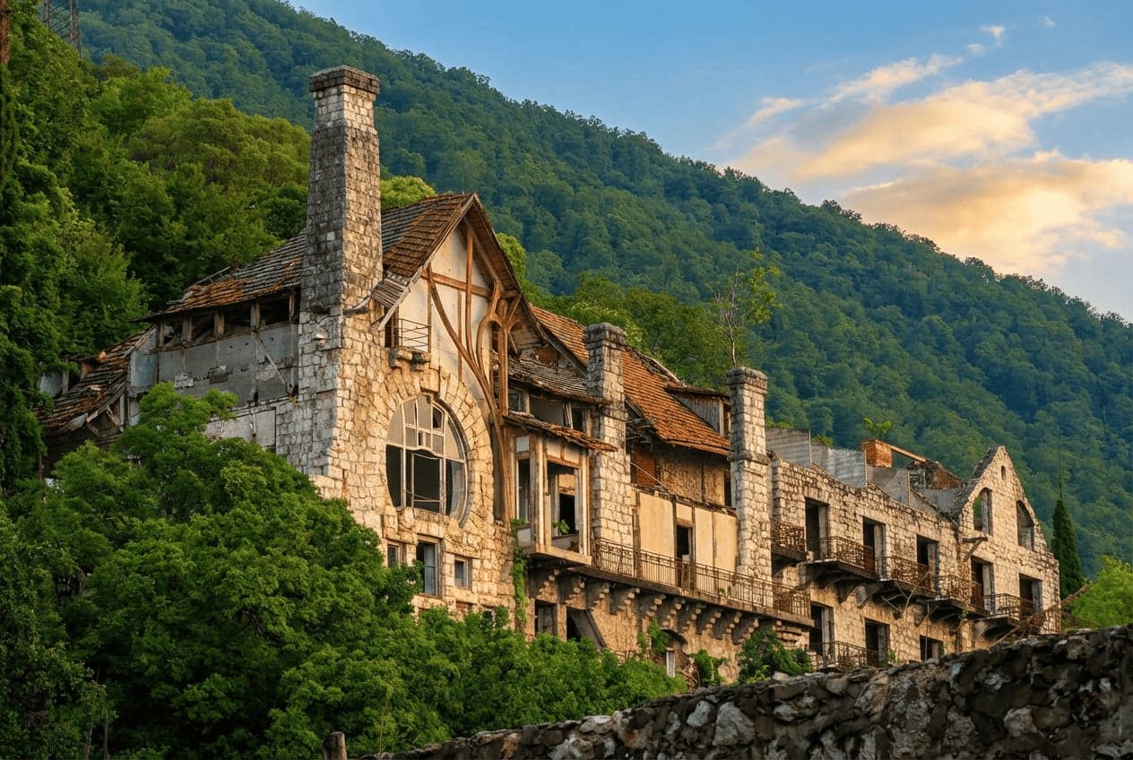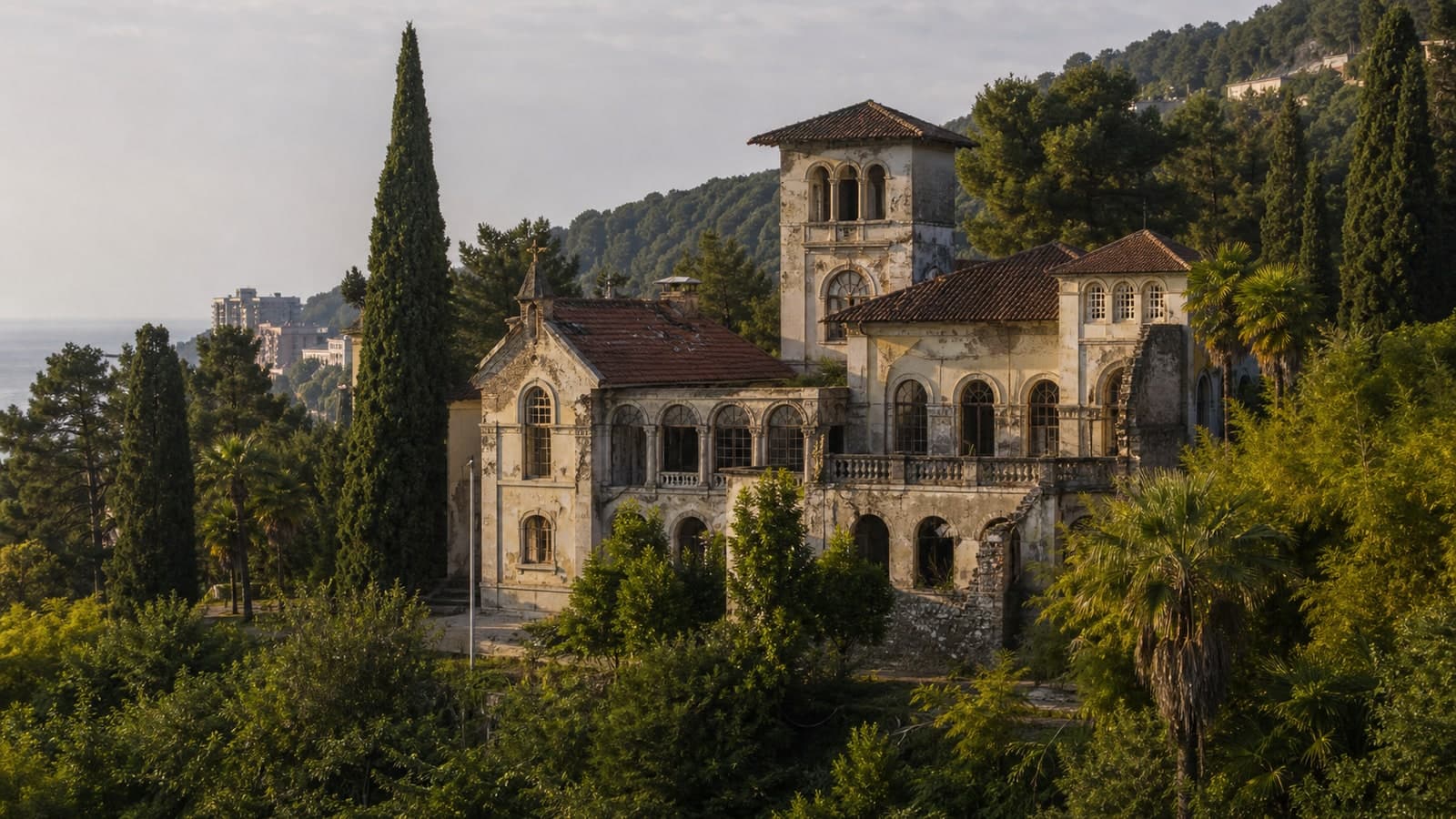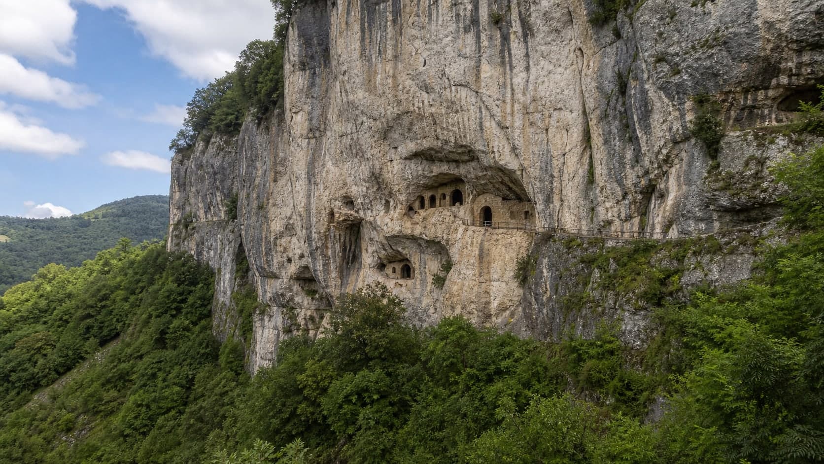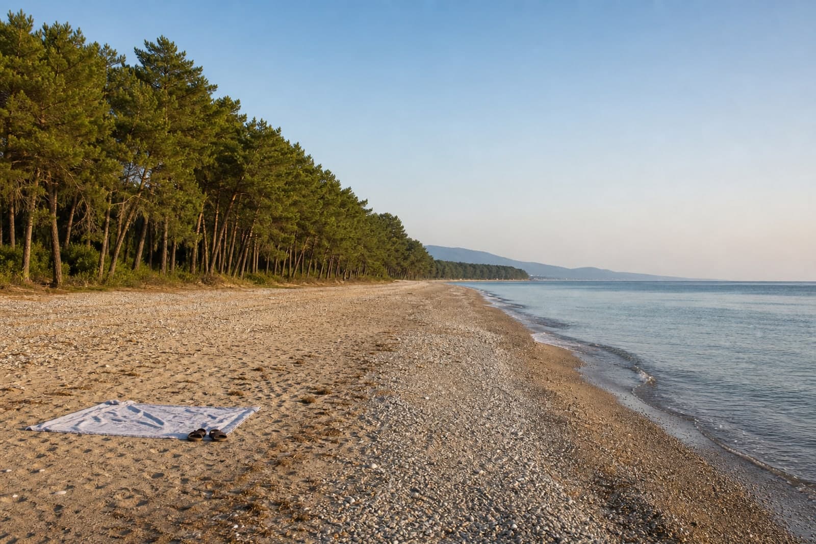
Abaata Fortress
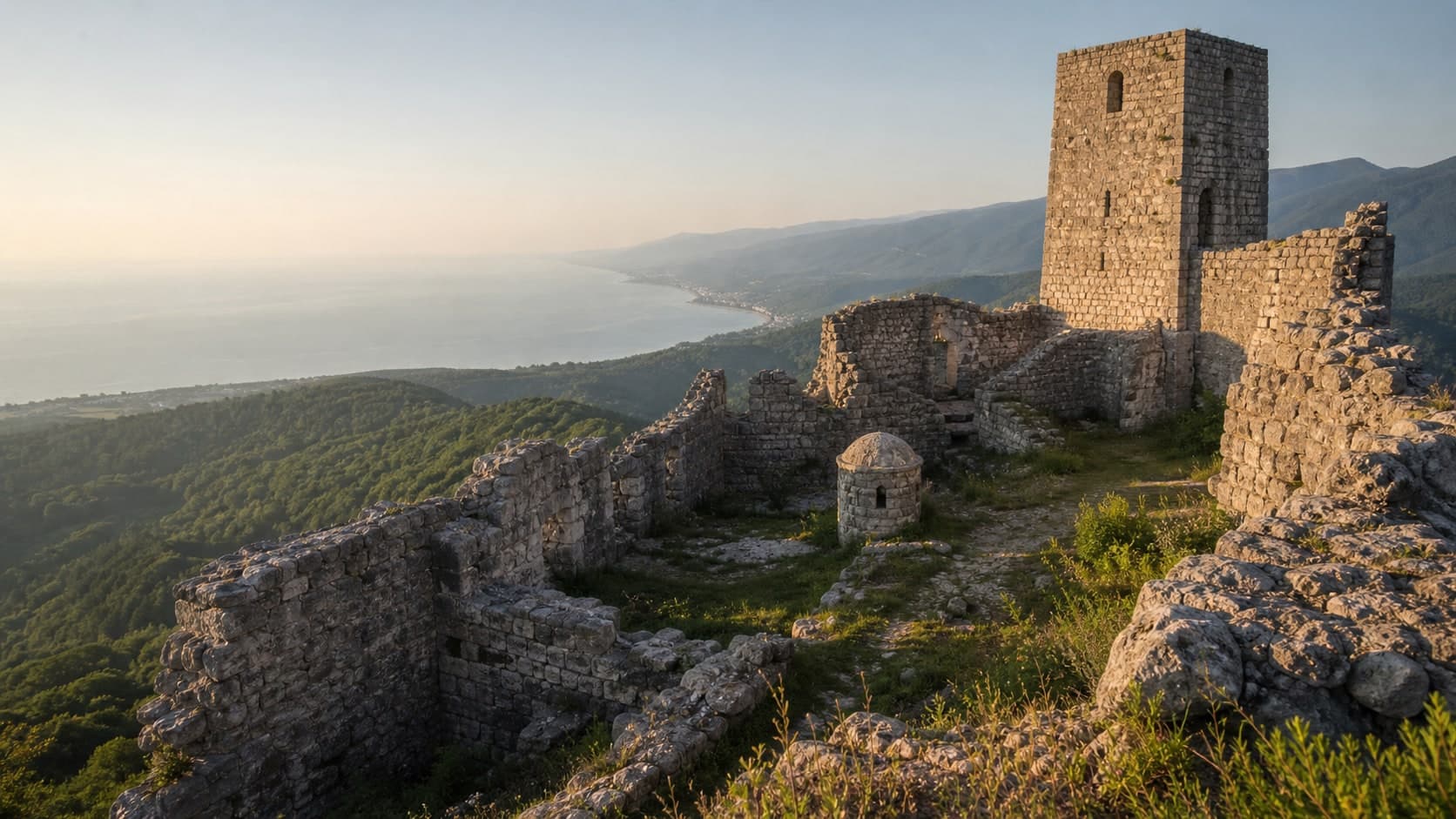
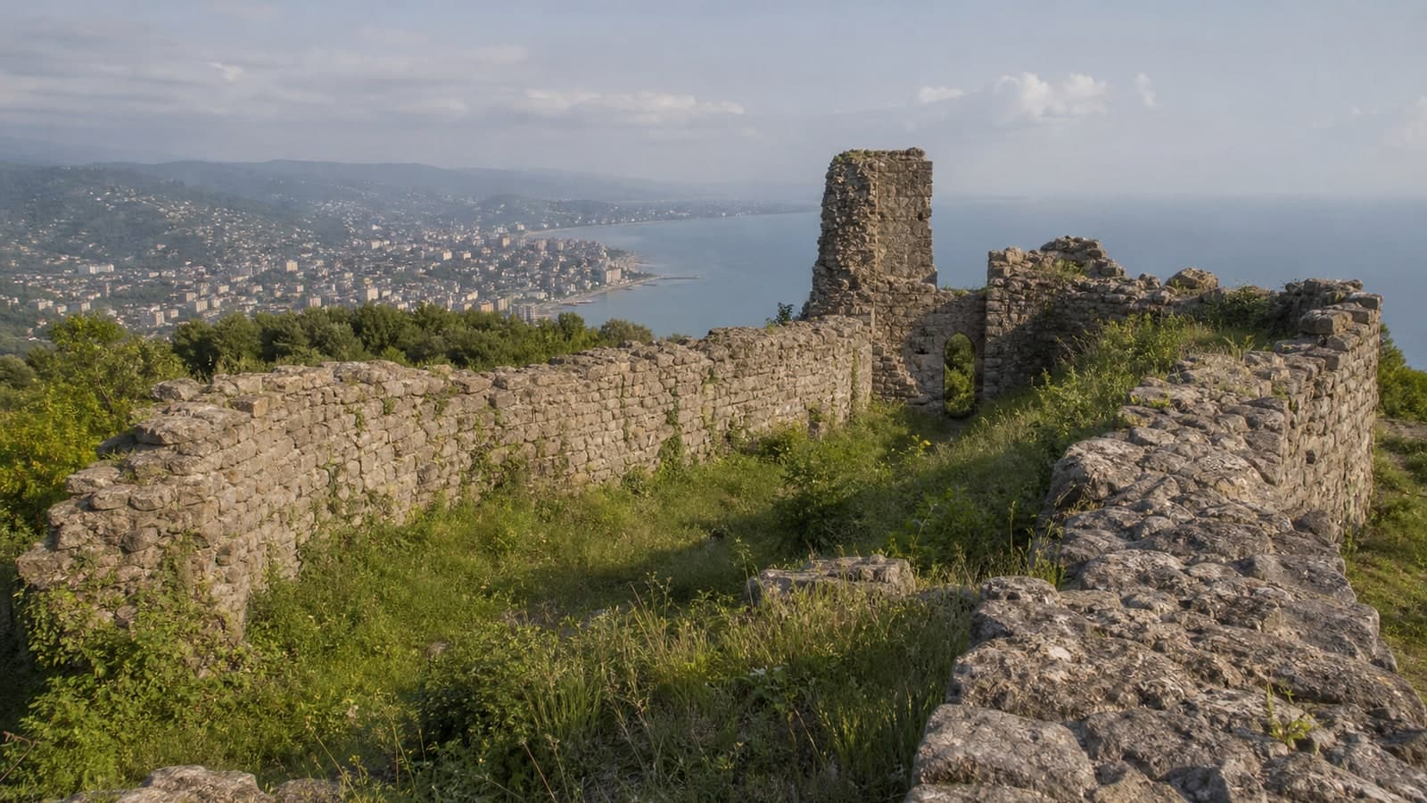
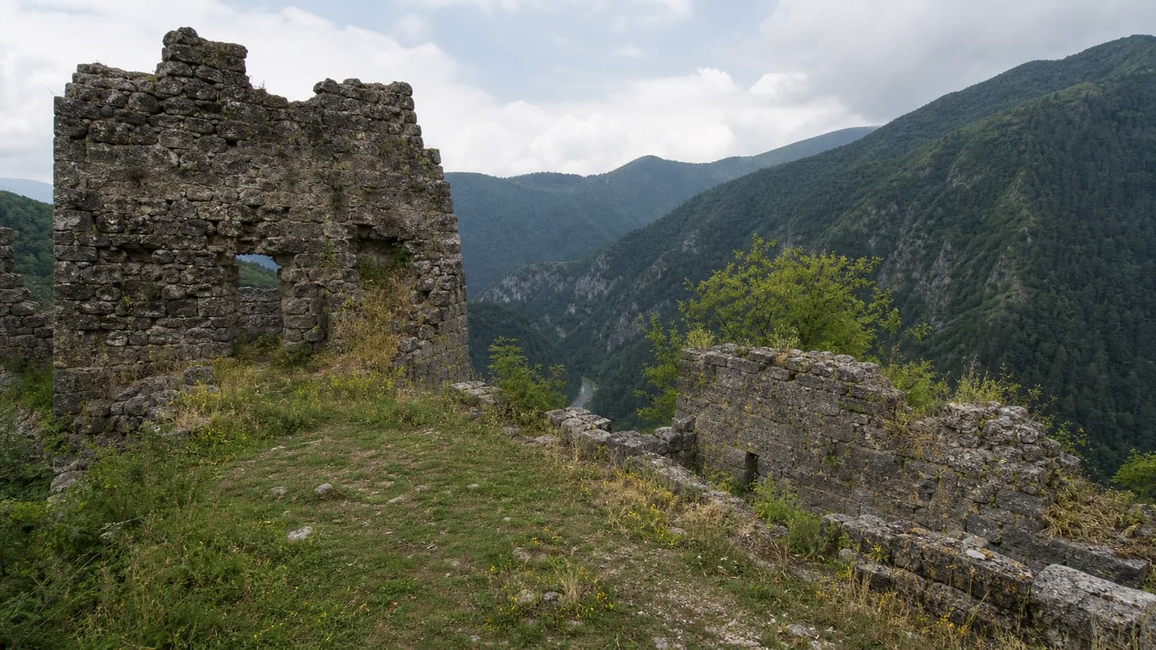
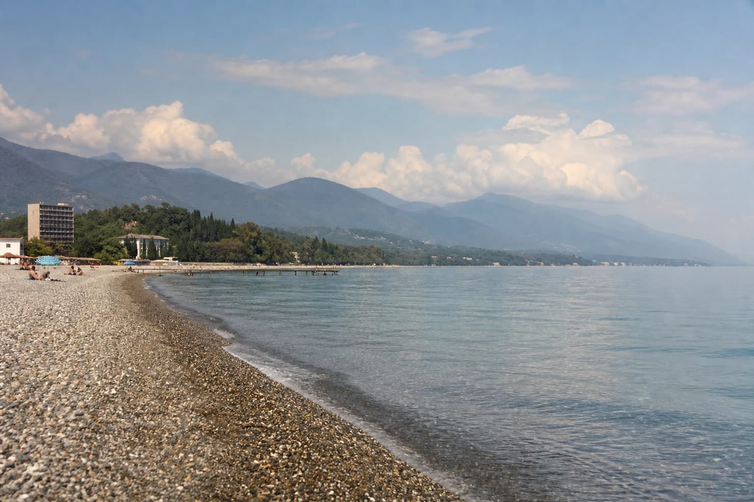
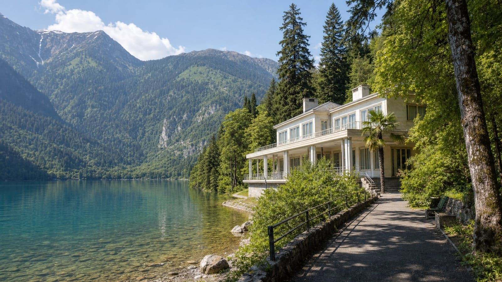
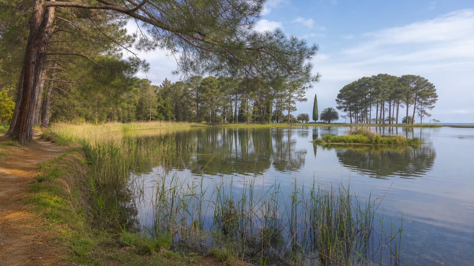
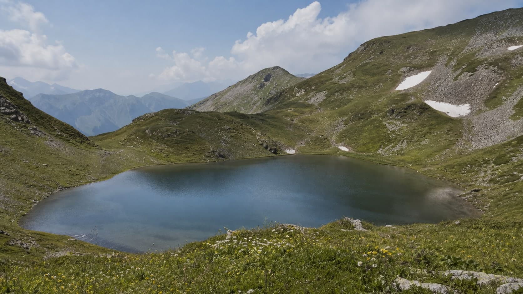
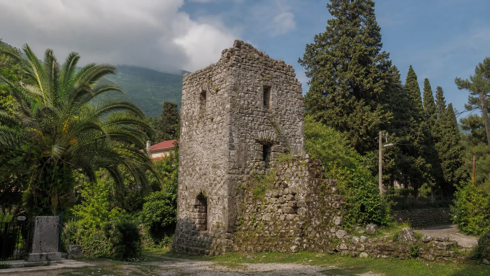
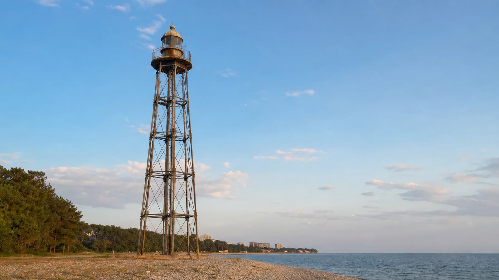
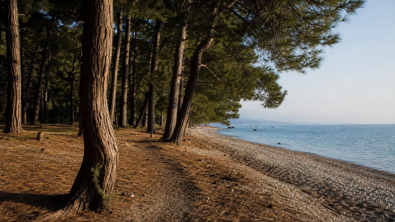
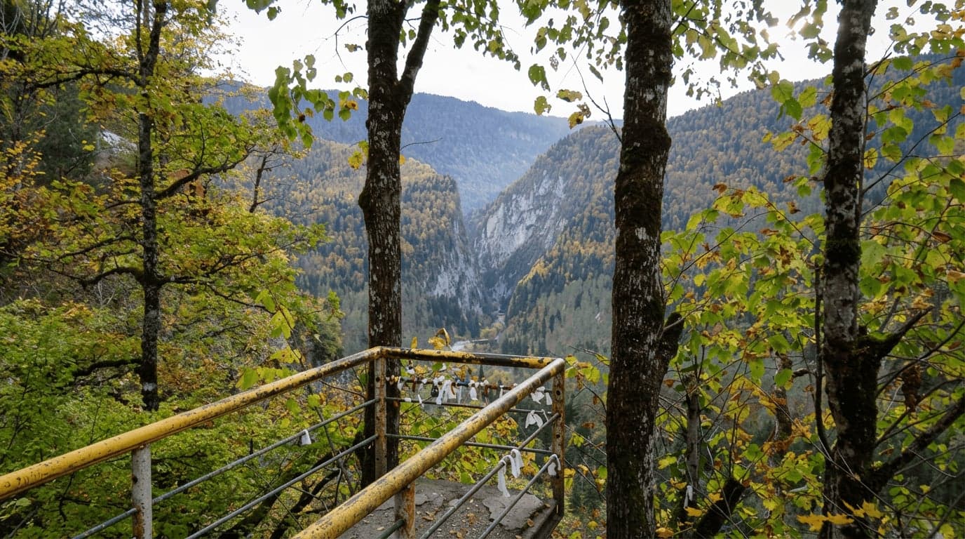
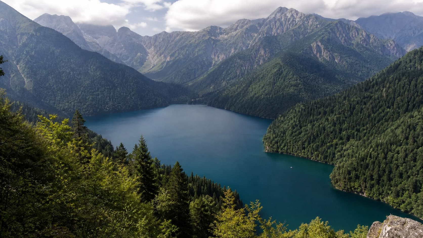
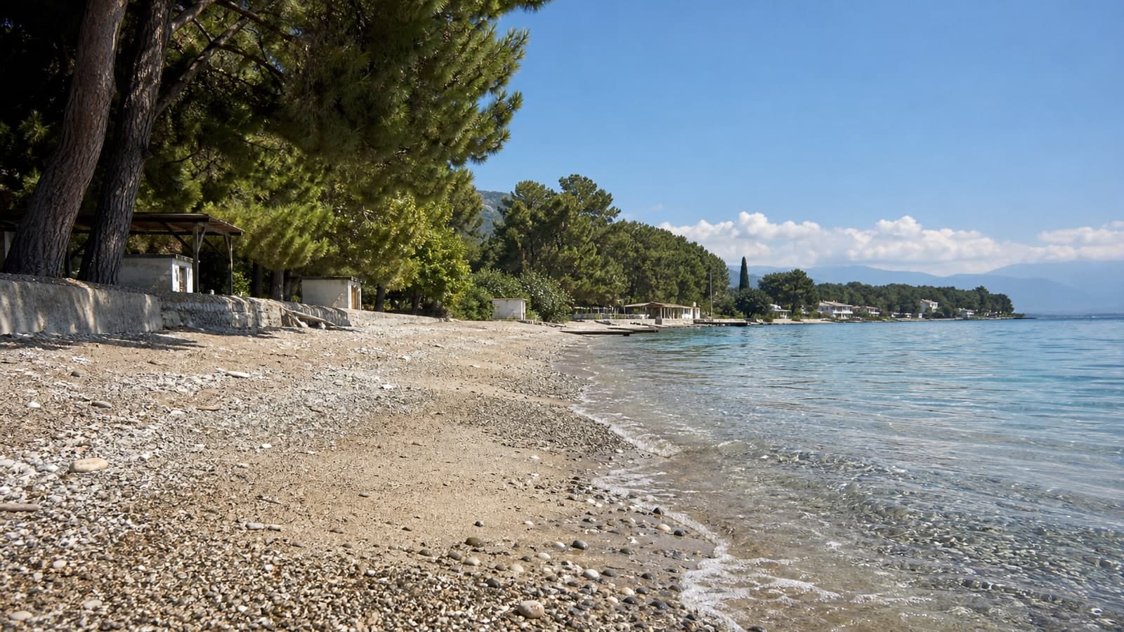
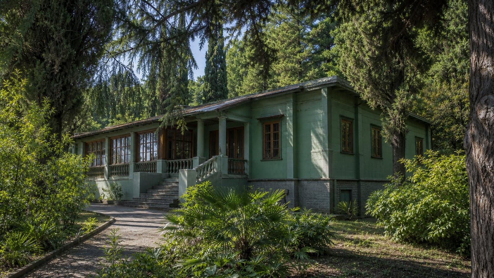
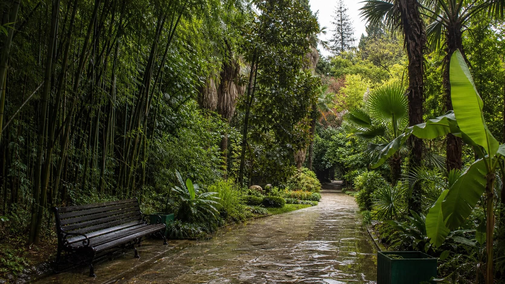
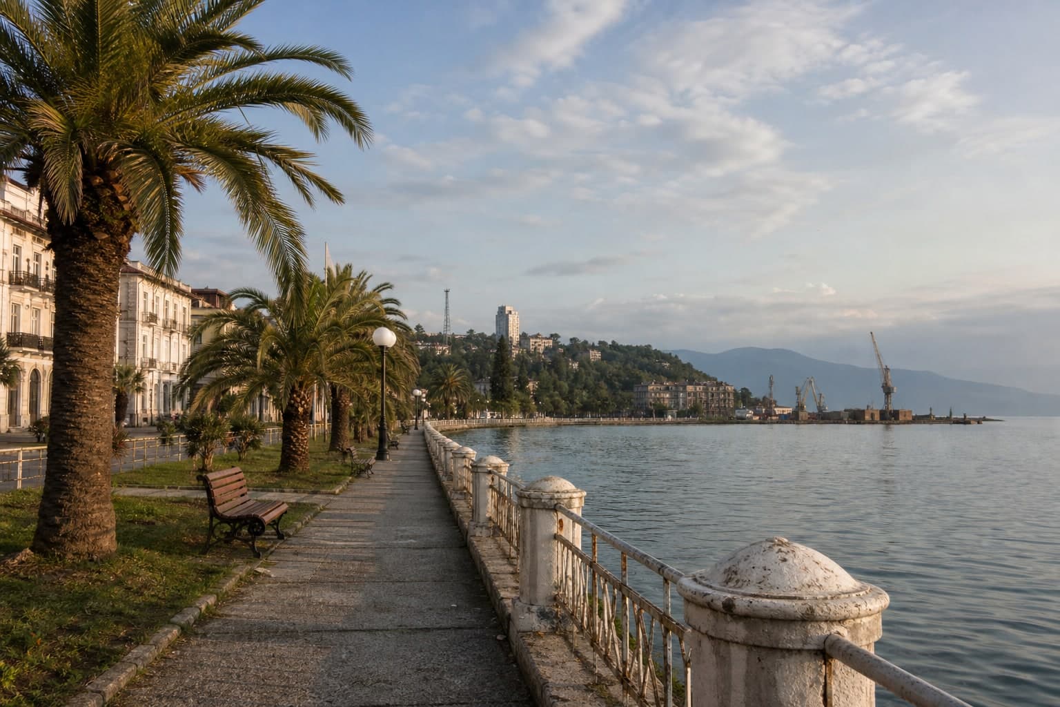
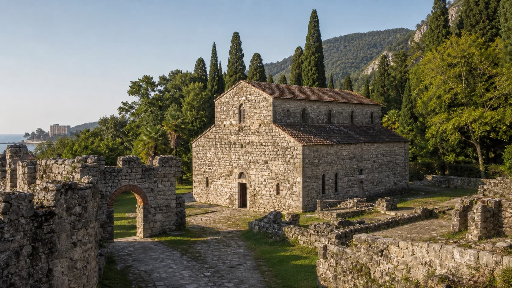
Abaata Fortress is best planned as a calm Old Gagra stop: exterior masonry, a small active-feeling church space and current access rules checked on site. Treat museums, interior zones and services as variable rather than guaranteed.
Travel Guide
Guides to places and activities in Abkhazia, Sochi, and Krasnaya Polyana.
Ask route guidance97 results

Abaata Fortress is best planned as a calm Old Gagra stop: exterior masonry, a small active-feeling church space and current access rules checked on site. Treat museums, interior zones and services as variable rather than guaranteed.

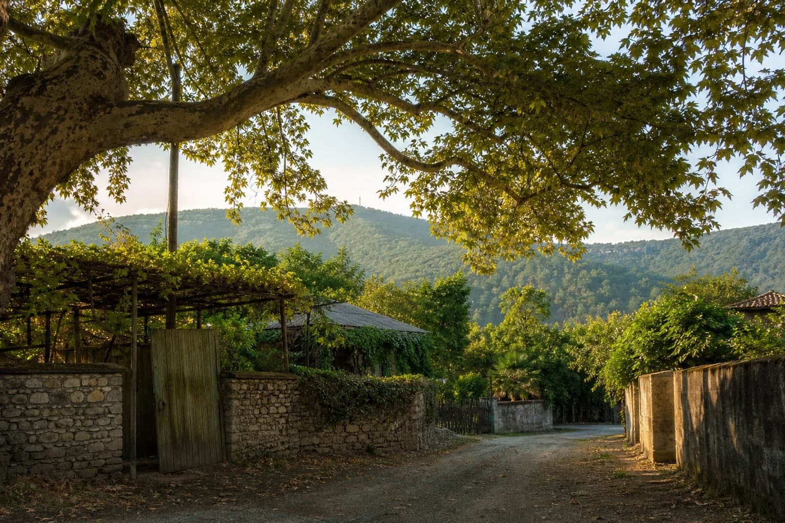
Abkhazia State Museum is a calm cultural stop in central Sukhum. Its galleries, courtyard and city-memory layers work best with current opening checks, photo-rule awareness and enough time to adjust the walk afterwards.

Achandara is a rural stop in the Gudauta district with large plane trees, courtyards and a mountain road above the sea. Come for quiet local context, not tourist infrastructure: private space, roads and seasonal purchases require respect and flexibility.
Agarak is a calm settlement beyond Pitsunda, where a beach day can blend with village rhythm, pine shade and simple coastal life. Come for quiet and an independent walk rather than guaranteed services.
The beach at Agaraki is a calmer part of the Pitsunda coast, with pines, mixed shoreline and a simple beach-day format. Treat it as a self-sufficient stop: water, shade, entry, depth and services depend on the exact spot, weather and season.
Agudzera can be a calm stop between Sukhum and southern routes, but old buildings, beach access and working spaces require respect for boundaries. Observe from outside, check sea access and do not rely on services.
Alakhadzy Beach is a long open coastal stretch between Pitsunda and Gagra, where space matters more than infrastructure. It suits an independent stop if you plan for pebble, wind, sun, swell and no guaranteed services.

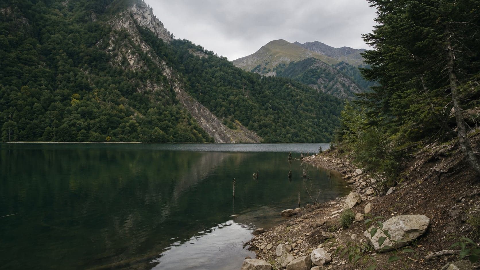
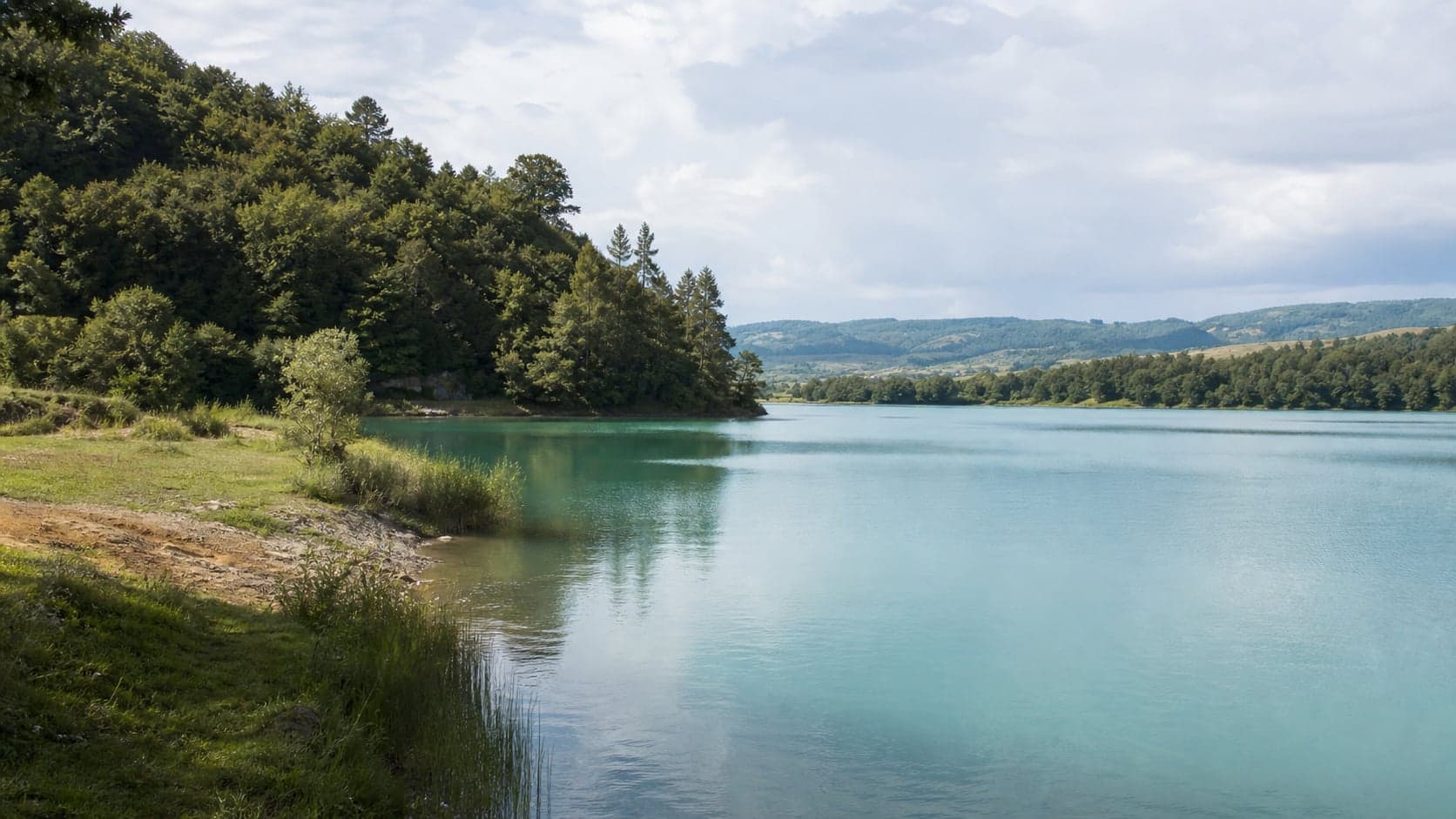
A remote mountain lake with a forest approach, cold water, unstable banks and minimal infrastructure. Treat it as a self-sufficient shore stop, not a guaranteed place to swim or picnic.

Anacopia Fortress on Iverskaya Mountain means a climb, old walls, exposed wind and views over New Athos. It works best as an unhurried route with water, footwear, distance from edges and respect for masonry, not as a quick sprint to the panorama.

Bagrat Castle is a short climb to ruins and views over Sukhum, but it is not a managed viewpoint. Go in daylight, check the ground after rain and keep enough energy for a careful descent.
Bagripsh is a quiet hillside point near Gagra’s northern entrance: greenery, coastal views and traces of dacha resort culture. Treat it as a short stop that depends on private boundaries, road condition and actual access.
Beslekha Fortress is a mossy forest ruin near Sukhum. There is little visitor infrastructure, so come in daylight with an offline map, closed shoes and a willingness to turn back if the path is wet or overgrown.

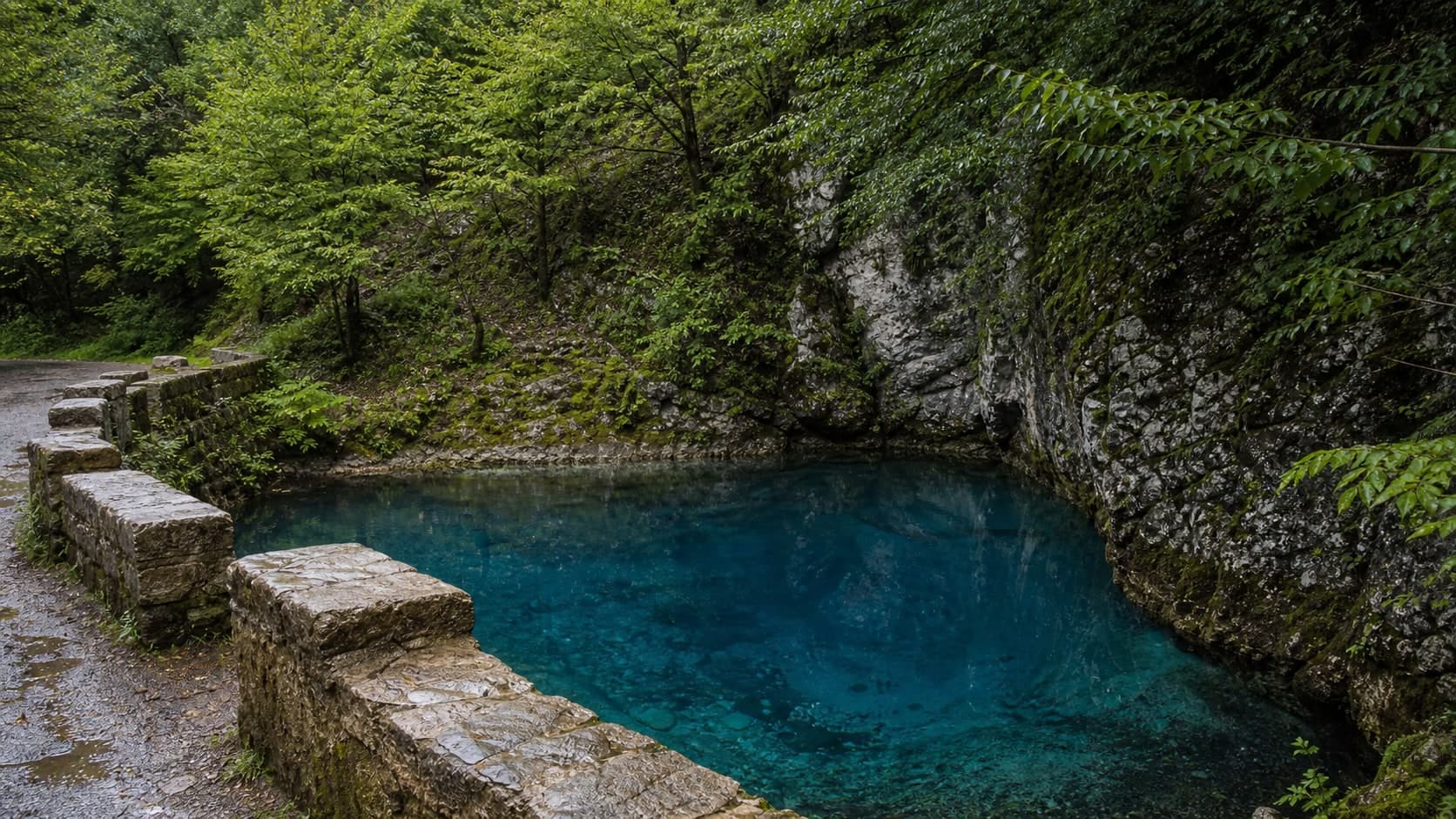
Blue Lake is a compact roadside stop where the colour can be vivid, but road safety, barriers, wet stones and low-impact behaviour matter more than getting close to the shore.

Bzyb Fortress is a ruin above the entrance to the Bzyb Gorge, where the road to Ritsa begins to feel mountainous. Keep it as a short exterior-first stop: stone, greenery, a river view, firm footing and road margin matter more than trying to climb higher.

Chabgar Cornice is a strong roadside viewpoint, but road, height and wind are exactly what make it sensitive. The useful format is a short gorge view and onward travel without stepping onto the edge, railings or carriageway.
A citrus garden near New Athos is a gentle food-and-nature stop among tangerines, lemons and humid subtropical greenery. The experience depends strongly on season and the rules of the specific farm: ripe fruit, picking and tastings should be confirmed in advance.
Del Mar is a mapped city beach point on the Sukhum shore, useful as a short water stop. Conditions depend on waves, pebbles, the waterline, shade and actual services, so do not build the whole beach day around it.
Del Mar in Ldzaa is best treated as a seasonal waterside spot with a changeable format. Confirm operation, services, music, loungers, payment and shore conditions before relying on it, and keep the beach plan flexible.
Dioscuri Embankment suits a calmer stretch by the sea, but it needs attention to paving, the water edge, lighting and the route back. Treat it as a short flexible walk, not a route that must be followed to the end at night.
Duripsh is a living mountain village above Gudauta, often visited for home feasts, village air and views through the trees. Plan it as an arranged visit: private courtyards, alcohol, evening roads and menu details should be agreed in advance.
Elena Island near the Sukhum Lighthouse is best treated as a distant silhouette and a quiet view from shore. Do not plan to wade or swim to it: water, rocks, current and visibility matter more than a photograph.
The aquapark in New Gagra can be a family break from the beach if it is actually operating and the needed zones are open. Check conditions on site: seasonality, prices, rules, queues and services can change.

Gagra Central Beach is New Gagra’s main urban beach: pebbles, cafes, rentals, evening walks and quick access to the market. Comfort depends on season, exact section, swell, wind and crowd level, so choose the spot, water entry and rest format on arrival rather than assuming identical services, lifeguards or calm sea along the whole strip.

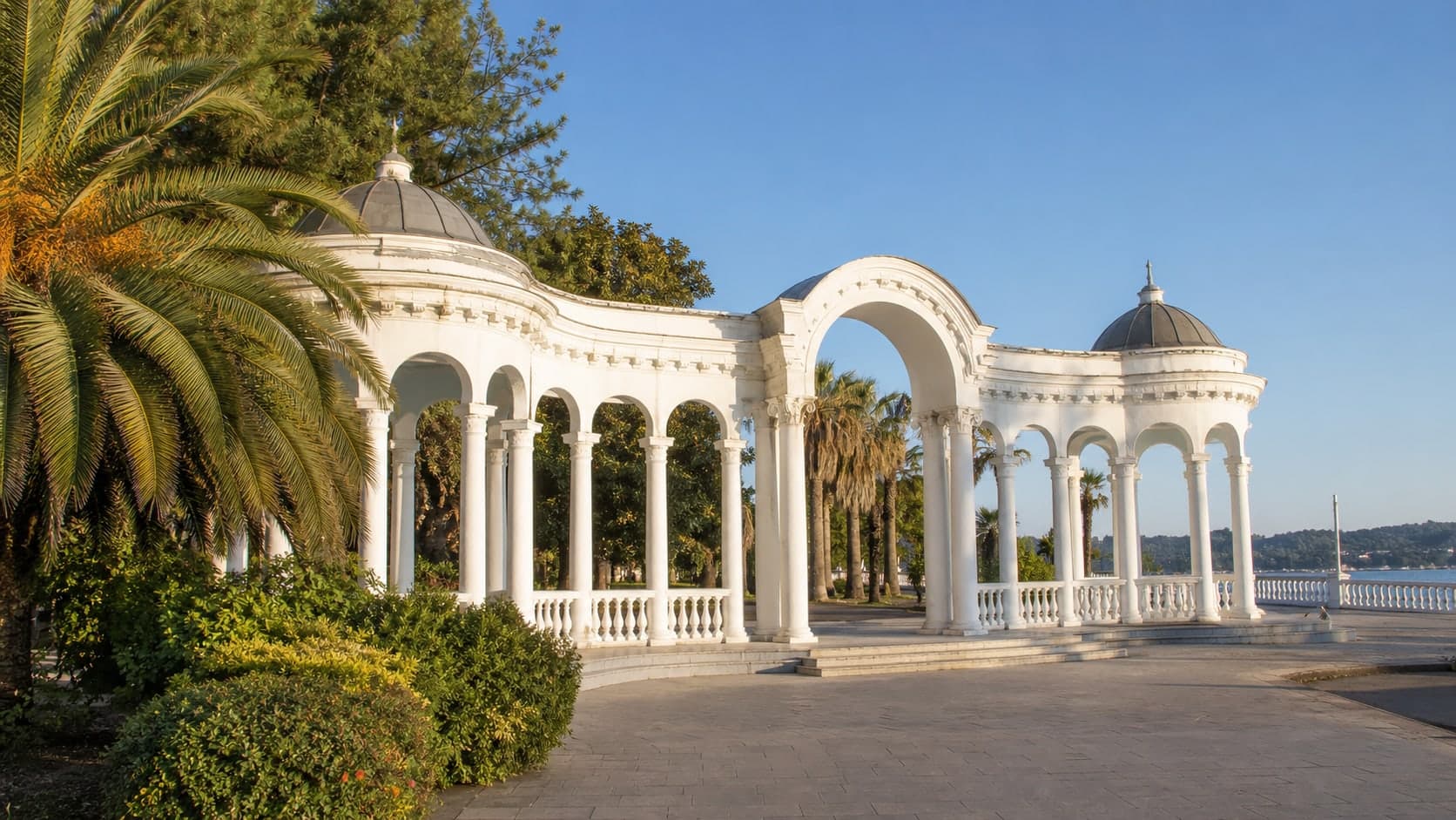
The Gagra Colonnade is the clearest visual symbol of Old Gagra: an open arcade beside the sea, fountain, park and promenade. It works well as a first stop for orientation, an easy walk and evening photographs, but water edges, roads and wet paving still require basic attention.

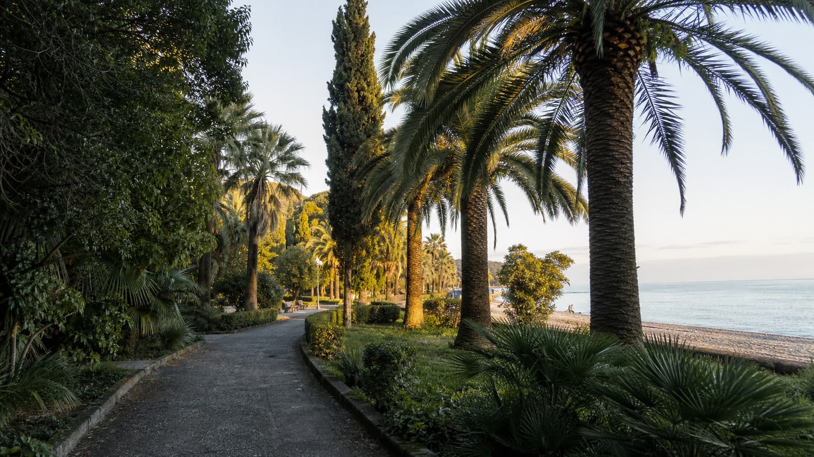
Seaside Park is Old Gagra’s main green walk: alleys, subtropical trees, sea access and links to historic stops. Come for shade and atmosphere, but account for heat, evening darkness, insects, wet paths, ponds and uneven condition of older alleys.

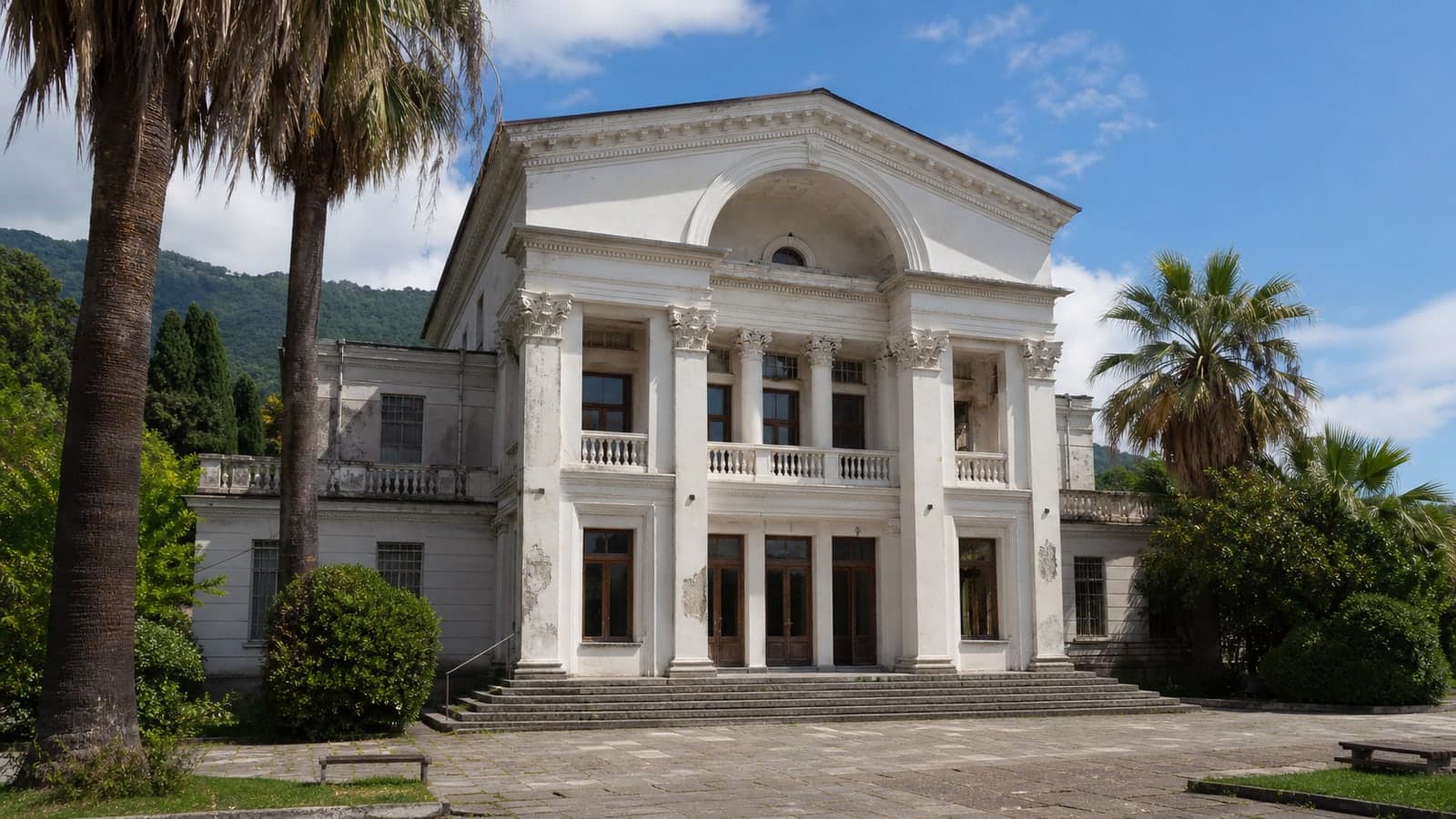
The Winter Theater by the Colonnade is expressive ruined architecture in Old Gagra, but the safe scenario remains exterior viewing. Facade, staircase and silhouette read from open areas; entry, interiors and closed openings should not be part of the plan.

Gal Reservoir is a remote water stop in eastern Abkhazia, with forested banks, rough access roads and conditions shaped by weather, water level and local rules. Treat it as a calm landscape stop, not as a guaranteed place for swimming, picnicking or boating.
Gal is not a resort backdrop but a working town in eastern Abkhazia: market life, roads, border logistics, mixed speech and everyday rhythm. Visit with documents at hand, a calm pace and respect for local sensitivities.
Glory Park is Sukhum’s central memorial space connected with the 1992–1993 war. Silence, restrained photography and respect matter here, because for many people this is personal memory rather than a visitor attraction.
Golden Bay is a scenic rocky shore stop best treated as weather-sensitive. It can pair with Golden Bay Snorkeling, Myussera Nature Reserve or Ambar Church Myussera, but only if sea state, access, footing and return margin are sensible.

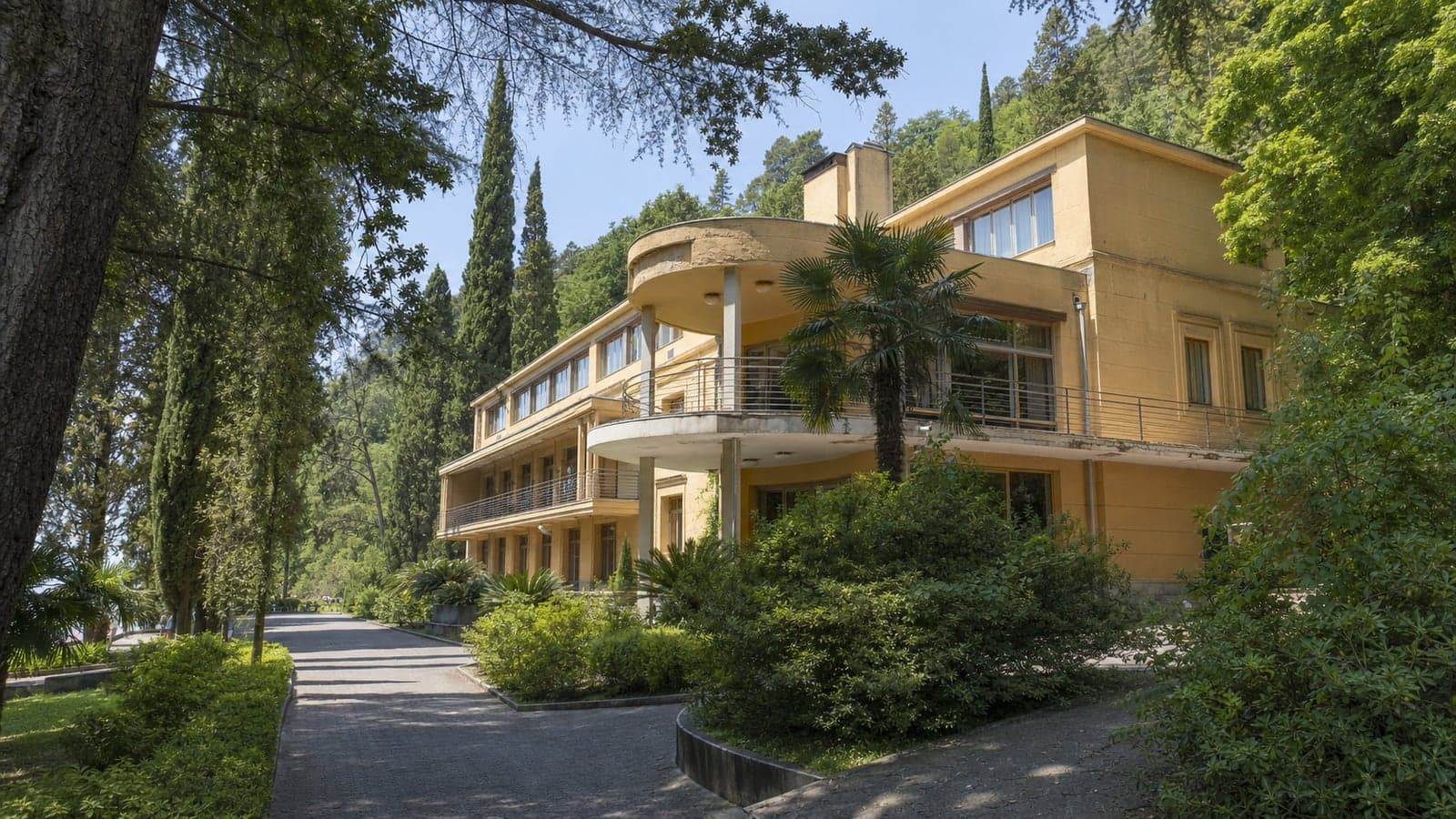
Gorbachev’s dacha in Myussera is a late-Soviet residence in a forested coastal area, valued for architecture, restricted resort life and historical associations. Check access, route, photography rules and open areas before travelling; do not treat independent entry or interior viewing as a default condition.
The Griffins Fountain beside the Abkhazian Drama Theatre is a useful meeting point and start for a short central Sukhum walk. Water, lighting and crowd levels vary, so treat it as a landmark rather than a guaranteed show.

Gudauta’s main beach is a broad town shore with pebbles, open sea and a local rhythm. It works for a calm beach day if you choose the section by actual swell, wind, water entry and shade, rather than expecting the same services along the whole shoreline.
Gudauta’s embankment is a simple seafront walk with broad space, beach proximity and a local rhythm. It works best as a flexible outing if you account for heat, wind, lighting, paving condition and the uneven availability of cafes or services.
The Head of Otap is a rock landmark above Otap best treated as a short, careful stop with local route knowledge. Weather, trail condition, wet stone, lack of railings, group contact and willingness to stay away from the edge matter more than the photo.
The Inguri HPP viewpoint gives an external sense of the dam and gorge, but it still sits near sensitive engineering infrastructure. Stop only where it is allowed and safe, follow photography rules and keep time margin for route changes.
Jgerda is not a museum set but a living village with private yards, apatskhas, gardens, animals and its own rhythm. Visit only by arrangement or with a guide, respecting boundaries around homes, people, photos, meals, rural roads and hosts’ time.
Kamany is a foothill religious cluster where access to individual spots depends on the day, services, road and weather. Plan without rigid timing, behave quietly and confirm rules on site.
Khashupse Fortress is an open ruin and natural-terrain viewpoint above the gorge. Visit for landscape context and history, but avoid climbing masonry, exposed edges and rain-softened ground.
Kholodnaya Rechka is a natural shore where stream, pebbles and sea meet. Treat it as a short condition-based coastal stop; current, water temperature, stones and traffic nearby all need attention.

Khrushchev’s dacha at Ritsa reads as a lighter, more domestic contrast to the neighbouring Stalin dacha. Plan flexibly: open areas, tickets, photography, groups and visit length depend on the site’s current operating mode.

Kindgi Beach is a self-sufficient pebble shore near Kyndyg Thermal Springs. It works as a short sea pause only after checking wind, swell, entry, footing, how empty the shore feels and how your body feels after hot water.
Kyasok Beach, also known as Lokomotiv, is a wide pebble shore on the eastern side of Sukhum. Come for space and a simple sea day, but not for reliable service, perfect water or guaranteed emptiness.
Lake Adyuada is a remote highland lake for a prepared, weather-dependent day. Road, trail, streams, visibility and route rules matter more than beautiful water colour; plan via Auadhara only with real margin.

Lake Inkit is a quiet stop with reeds, shade and still water in Pitsunda’s green zone. Visit it for a short pause after Pitsunda Pine Grove, not as a guaranteed substitute for sea swimming or fishing; Lake Inkit Fishing depends on rules, bank condition and current circumstances.

Lake Mzy is a remote highland goal where road, trail, cold water, wind and mist can quickly change the plan. Treat it as a separate route with time margin, warm clothing, offline navigation and readiness to keep to a safe shore viewpoint.

Ritsa is the main highland stop on the Ritsa route, but the day depends on road conditions, weather, visibility and pace. Arrive without rushing, keep a margin for the return and treat the shore as mountain water rather than a resort beach.
The Nestor Lakoba House-Museum in Gudauta is a small historical stop about Abkhazia’s Soviet 20th century, power, memory and repression. Opening hours, visit format, payment and photography rules can change, so confirm details in advance and do not expect a large museum complex.
A lived-in mountain village and practical checkpoint before upper Kodor. Stop to reassess road, access and daylight, not to rely on guaranteed services, guides or tourist infrastructure.

Ldzaa is a calmer shore near Pitsunda: pine air, pebble water, less resort noise and a simple beach-day format. Plan it for shade and quiet, but not for identical services, even footing or guaranteed calm sea.
Leselidze, also known as Gechripsh, works mainly as a border-area logistics pause: water, snacks, mobile connection, cash and bearings after Psou. It is useful when treated calmly, not as a sightseeing destination.

Little Ritsa is not a quick add-on to the main Ritsa shore, but a walking route with forest, height gain, cold water and limited infrastructure. Start early, wear grippy shoes, keep descent margin and skip the ascent after rain or in poor visibility.
Mahadzhirov Embankment remains Sukhum’s convenient central walking route, but it works better in sections: account for heat, slippery paving after rain, crowds, cafés without guaranteed service and a safe evening return.

Marlinsky Tower is a small ruin above Old Gagra, best read from outside and in relation to the forested slope. Treat it as a short fair-weather stop, not a climb or a chance to test old masonry.

Mayak Beach is a quieter pebble stretch near Sukhum Lighthouse and the western part of the bay. It works for a self-sufficient pause in calm sea, but requires attention to large pebbles, depth, wind, exit from the water and limited facilities.
The Museum of the Abkhazian Kingdom is a compact stop for visitors who want to connect New Athos not only with the cave and monastery, but also with the wider historical layer of the region. Treat it as a calm pause, and confirm opening hours and photo rules on site.

Myussera Nature Reserve is a coastal forest-and-sea landscape where access rules, road condition, path surfaces, humidity and the return route matter as much as scenery. Link it with Ambar Church Myussera, Gorbachev Dacha Myussera or Kasatka Torpedo Factory only with current local guidance and a willingness to shorten the plan.

New Athos Beach is a set of pebble sections below Iverskaya Mountain, useful for a pause after the cave, monastery or town walk. Comfort depends on the exact section, swell, water entry, shade and seasonal crowding.

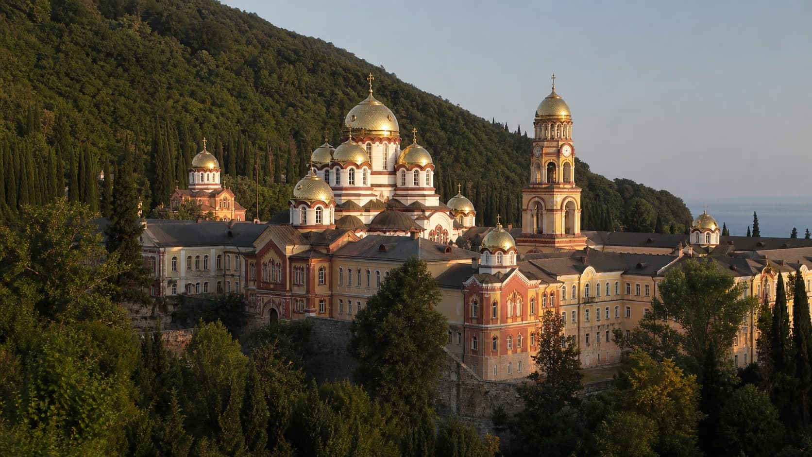
New Athos Monastery is an active religious site above town, with domes, terraces, hillside walking and sea views. Plan it as a respectful visit with rule checks and margin for heat and walking, not as an open viewpoint or a quick in-between stop.

Ochamchyra Beach is a broad open shore for walks and self-sufficient sea pauses, not a tightly managed resort strip. Check wind, swell, depth changes, water clarity, shade, access paths and working services on the exact section you choose.

The beach by Seaside Park is a calmer alternative to Gagra’s busier sections: pebbles, trees nearby and an old-resort mood. Infrastructure, water visibility, exit comfort and evening lighting vary by spot, so arrive prepared and keep margin for a safe return through the park or promenade.

The castle above Old Gagra is best planned as exterior viewing of fragile hillside ruins. Strong views and park context do not require going inside: stable paths, dry weather, respect for barriers and early turnback matter more.

Oldenburg Palace is best read as a strong exterior accent of Old Gagra, not as a promise of entry. Use open angles, respect barriers, stay cautious on the slope and be ready to change the route if the approach is closed or doubtful.

Otkhara Rock Monastery is best approached as careful exterior viewing of grottoes and a limestone wall, not as self-guided climbing. Access, water, trail, drop-offs and local rules should be clear before any ascent; when in doubt, choose a distant view and respectful behaviour.

Pitsunda Central Beach is the cape’s main beach reference point: a pebble shore, nearby grove and short links to walking stops. It works for a first beach day if you plan around heat, swell, seasonal crowds and your own water supply.

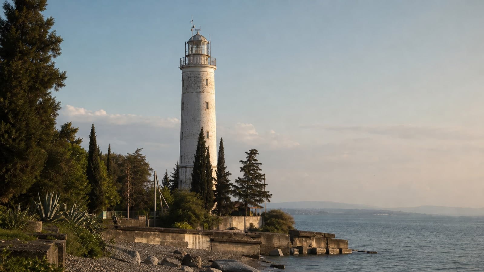
Pitsunda Lighthouse is a clear point on the cape: a white vertical, wind, sea and coastline views. Plan it as a short exterior walk after the beach or grove, without assuming tower access; wind, wet stones, technical areas and late light all need margin.

Pitsunda Pine Grove is a calm green link between the cathedral, beach and resort area. Treat it as a shaded walk with water, pauses and respect for protected sections, not as a place for shortcuts or casual picnics anywhere.

Proshchay Rodina works as a strong story and exposed roadside viewpoint, not as a place to test the edge. Keep the stop short, treat legends as folklore and place traffic safety above the photograph.
Pskhu is a remote village in a mountain valley where the route depends on the pass, weather, transport, signal and local arrangements. Go only with time margin and full self-sufficiency.
The small village of Reka sits where the road to Ritsa National Park makes a sharp bend at the Bzyb River. A few houses, a beehive, a viewpoint over the gorge — a perfect rest stop before heading into the mountains.
The Ritsa observation tower gives a quick elevated angle, but a short climb still involves wet steps, wind, mist and limited space at the top. Move calmly, keep children close, do not linger in bad weather and use the Ritsa shore as a fallback.

The viewpoint above Ritsa gives a whole-lake view of water, forested slopes and road, but it is a short weather-dependent stop. Wind, wet rock, cloud and the edge of the platform matter more than chasing a perfect photograph.

The Rybzavod area is a looser shore beyond central Pitsunda, but conditions vary by section. Check the water entry, shade, wind, litter and return route on arrival rather than expecting steady resort-style services.
Saberio Fortress is not a managed museum but a set of forest ruins in the Gal district: stones, paths, undergrowth and an approach that is not always obvious. Go only with time margin, an offline map, closed footwear and readiness to turn back.

The Seven Lakes Valley is a full highland day beyond Auadhara, not a checklist of points to complete. Access, trail, weather, water, visibility and group energy matter more than the number of lakes reached; use a guide or clear route and turn back early without argument.
Shlypra is a small rocky marker off the Pitsunda cape, usually best viewed from safe shore. Any close approach by water depends on sea state, rules, operator judgment and a clear return plan.
Sinop Beach is useful for its softer sandy shore and calmer format near Sukhum, but waves, cloudy water, services and crowding vary. Plan swimming by actual conditions rather than by the idea of a perfect sandy beach day.

Stalin's Dacha above Sukhum can be interesting as a historical and architectural stop, but access, visit format and rules may change. Confirm details in advance, respect closed areas and keep a backup city plan.

Stalin’s dacha at Ritsa is a historical stop in forest by the lake, where the contrast between enclosed interiors and open mountain nature matters. Visit format, tickets, photography, open areas and waiting should be checked on site.

Stalin’s dacha in Myussera is a Soviet-heritage site in a forested coastal setting. Treat it as a historical and architectural stop with changeable rules for access, route, photography and interior viewing.

Stalin's Dacha in New Athos is a museum-style excursion stop in a green part of town, connected with Soviet residential history. Entry to interiors, photography rules and tour format are best confirmed on site on the day of your visit.

Sukhum Botanical Garden is a useful green stop in the city centre, but hours, payment, photo rules and path condition should be confirmed at the entrance. Treat it as an unhurried pause, not a rushed checklist item.

Sukhum Central Beach is convenient for a short swim beside the walking line, but comfort depends on waves, water clarity, heat, crowding and the chosen entry point. Treat it as a flexible city pause, not a guaranteed beach day.

Sukhum’s colonnade is a recognisable white arch at the start of the walking line. It works as a meeting point and gentle start for a sea walk if you factor in people, weather, slippery surfaces after rain and evening light without rigid expectations.

Sukhum Lighthouse marks the western edge of the city walk: port air, anglers, wind and an open bay. Count on exterior viewing, safe distance and an easy turn-back if sea, wind or access make the stop uncomfortable.

Sukhum Monkey Nursery is an unusual city stop with hillside paths, enclosures and scientific memory. It is not a contact zoo: check current hours, keep distance, do not feed animals and mind steps after rain.

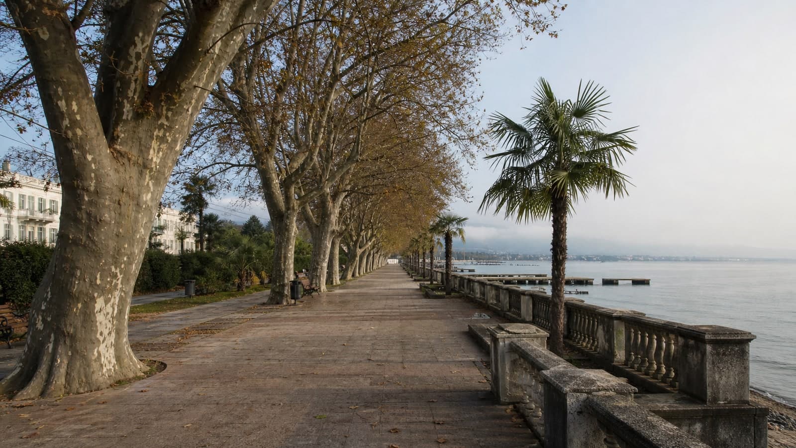
Sukhum Seafront is the city’s main walking spine, but it works best in sections: account for heat, wet paving, evening return, open water-edge areas and variable services. It is a flexible line, not a route that must be completed.
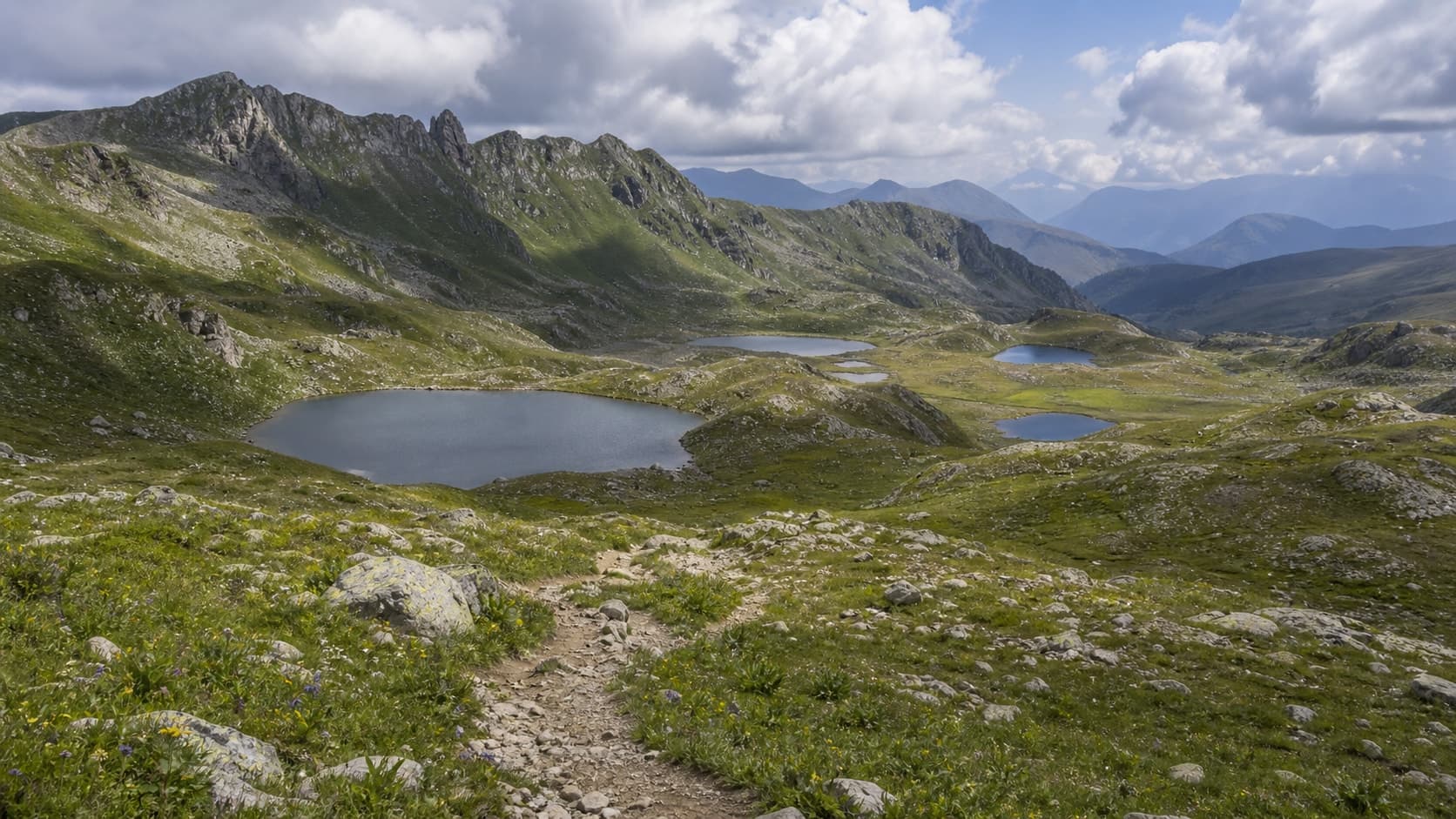
Swan Lake is a quiet park stop in New Athos, useful for slowing down between the cave, waterfall and town routes. The main things are shade, water, birds and careful behaviour, not guaranteed feeding times or a perfect photograph.

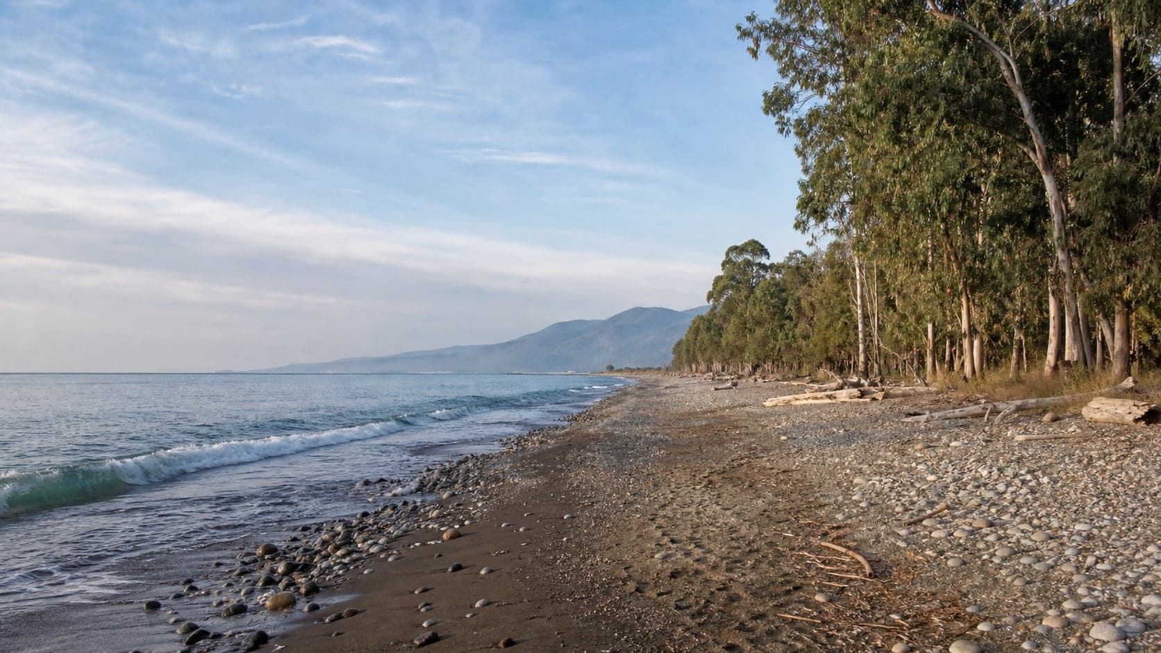
Tamysh Beach is a quiet open coast with eucalyptus, pebbles, wind and limited infrastructure. It suits a short, low-impact visit when access, swell, insects, fire safety, rubbish and the ability to leave calmly are handled conservatively.
Third Gorge Beach is a wilder shore by cliffs, where the experience depends on road, sea and the exact approach. Plan it without guaranteed services: water, shoes for stones, phone charge, daylight margin and a backup option matter more than a fixed beach schedule.
Tkvarcheli Mining Museum is best planned as a small context visit after confirming access, photography rules, payment and which rooms are open.
Tsandripsh Beach is a rocky-pebble coastal stop near the White Cliffs. It can be good for views and a short calm-sea swim, but entry, footing, swell and services vary.
Tsandripsh Sandy Beach is the simpler coastal option near Psou, useful for a soft pause after the road. It still needs normal sea checks: swell, cloudy water, belongings, shade and seasonal services.
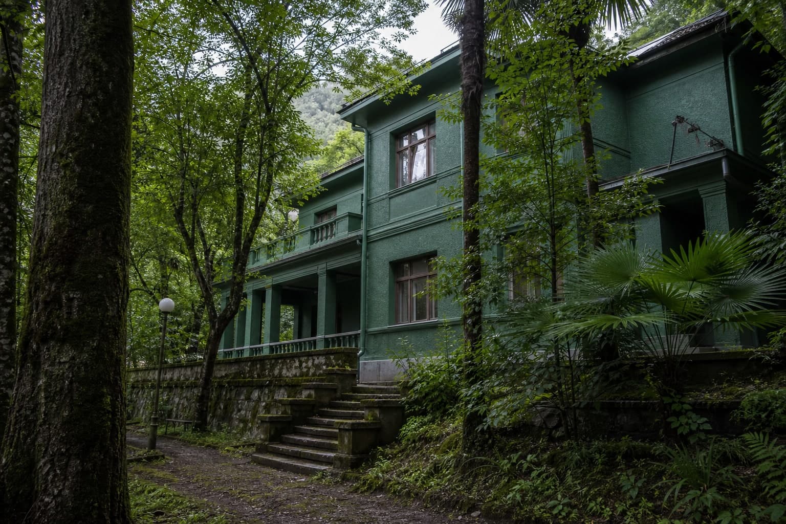
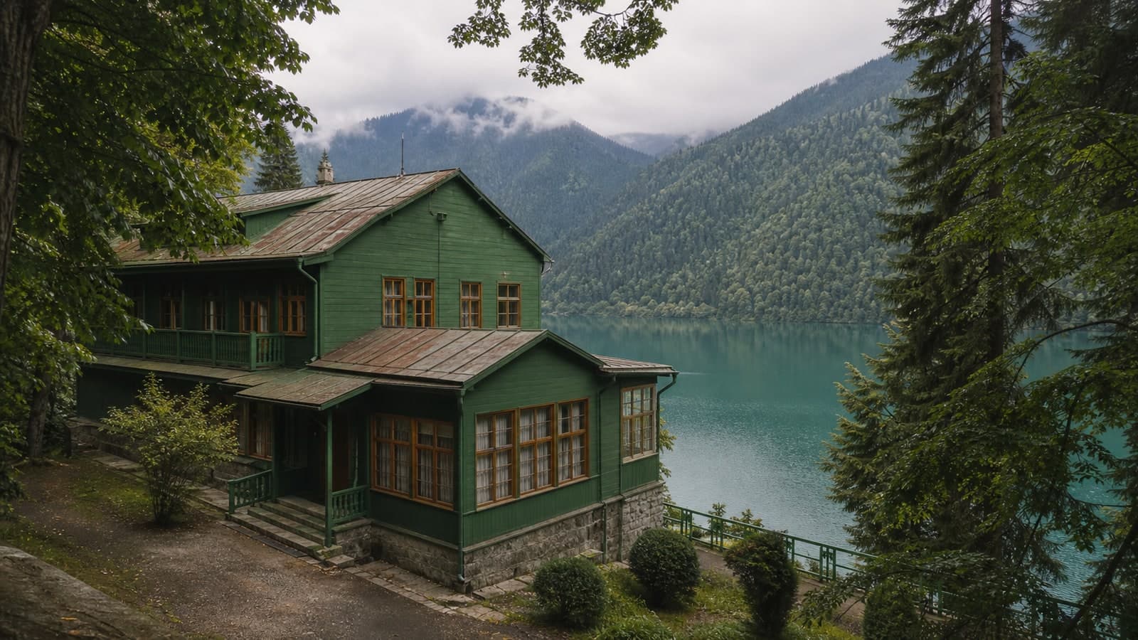
Tsebelda Fortress is a set of ridge ruins with views over valleys and old routes. The ascent, heat, fog, loose ground and unreinforced masonry require time, grippy shoes and readiness to turn back.
The Tsereteli bus stops on the Pitsunda road are vivid roadside artifacts of Soviet modernism and mosaic. View them only where stopping is safe: traffic, lack of pavements, shoulder condition and driver judgement matter more than a photo or a complete checklist.
A highland ruin best treated as part of a Kodor route, not as a place to climb walls. Clear access, grippy footwear, distance from edges and respect for the archaeological setting matter most.
Zolotoy Bereg is a more open and less urban stretch of coast in the Gudauta district. Plan it as a self-sufficient outing with water, shade, daylight margin, road caution and readiness to skip swimming if wind, swell, entry or access feels weak.
Region
District
Scenario
Type