
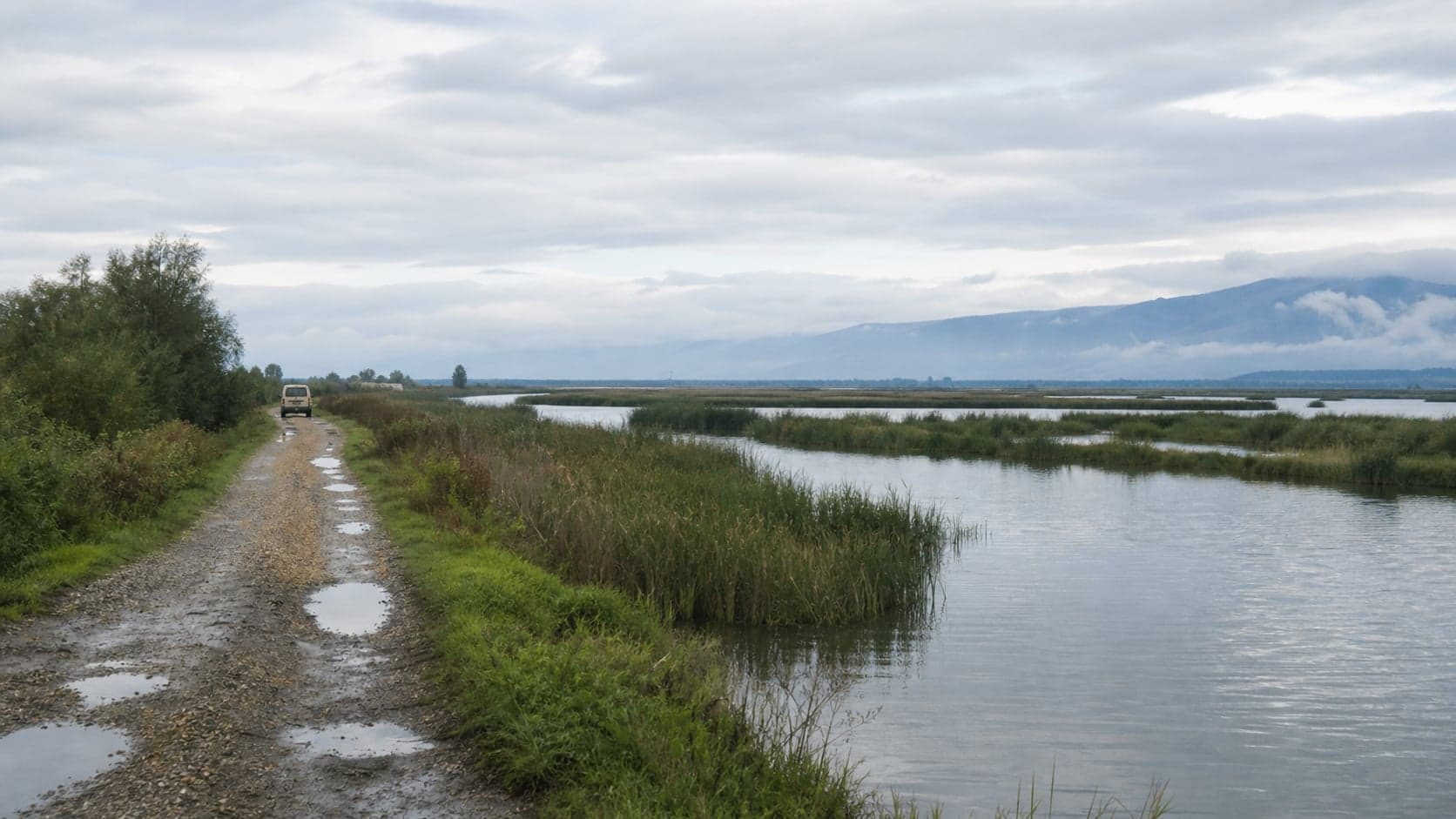
Gal Day Route: Inguri, wetlands and roads with margin
A day through southern and eastern Abkhazia is best planned flexibly: external views of Inguri Dam, wetland edges in the delta, Gal town and, if conditions allow, the forest ruins of Saberio. Documents, access, weather, fuel margin and a willingness to change the order of stops matter here.
A Gal district day is built on contrasts: concrete and gorge near Inguri HPP Dam: powerful engineering with access rules, the flat wet line of Inguri River Delta: reeds, birds and sensitive access, calm Gal: a living town in eastern Abkhazia and a practical pause and forest roads toward Saberio Fortress: forest ruins without guaranteed navigation. The route rewards verified access, respect for sensitive areas and time margin more than a rushed checklist.
Route logic
Build the day around conditions rather than a fixed timetable. First confirm access to Inguri HPP Viewpoint: an external view without detours and any possible engineering visit, then choose short nature stops at Inguri River Delta: reeds, birds and sensitive access or Gal Reservoir: quiet water, rough banks and flexible access.
Inguri and the delta
At the dam, the main issues are access rules, documents and photography restrictions. In the delta, focus on shoes for wet ground, insect repellent, clear roads and respect for birds, checkpoints and service areas.
Gal and Saberio
Gal: a living town in eastern Abkhazia and a practical pause works well as a calm practical pause for cash, water and local checks. Add Saberio Fortress: forest ruins without guaranteed navigation only with a clear route, dry weather and enough time to return.
Backup plan
If some stops are closed or roads are difficult after rain, shorten the route: an external dam view, Gal and a short shore stop are better than forcing the full plan.
Details
Practical: this route depends on changing conditions.
- Confirm access to the dam, delta and forest roads before setting out.
- Carry documents, cash, water, offline maps and fuel margin.
- Do not fly drones or photograph sensitive sites without permission.
- After rain, allow more time or reduce the programme.
- Saberio needs closed shoes, daylight margin and a clear return route.
Data updated: 7 July 2026
Route guidance
Clarify route details
Share your date, group size, and preferences. We check availability, route logic, and practical fit before you decide.
Noticed a change?
Suggest a correction for this item
If the road, opening hours, access, or description changed, send a short proposal. Publishing happens only after review.
Related
- OpenInguri HPP Viewpoint: an external view without detoursRelatedThe Inguri HPP viewpoint gives an external sense of the dam and gorge, but it still sits near sensitive engineering infrastructure. Stop only where it is allowed and safe, follow photography rules and keep time margin for route changes.
- OpenGal: a living town in eastern Abkhazia and a practical pauseRelatedGal is not a resort backdrop but a working town in eastern Abkhazia: market life, roads, border logistics, mixed speech and everyday rhythm. Visit with documents at hand, a calm pace and respect for local sensitivities.
Includes
- OpenInguri HPP Dam: powerful engineering with access rulesIncludesInguri HPP is one of the strongest engineering landscapes on the eastern route: a concrete arch, mountain gorge and reservoir. But it is an active and sensitive facility, so access, stopping, photography and even visit length depend on current rules on site.
- OpenInguri River Delta: reeds, birds and sensitive accessIncludesThe Inguri River Delta is a quiet wetland area in eastern Abkhazia where access depends on water, weather, roads and border-adjacent restrictions. Treat it as a short observation stop, not as a free-roaming nature park or drone location.
- OpenSaberio Fortress: forest ruins without guaranteed navigationIncludesSaberio Fortress is not a managed museum but a set of forest ruins in the Gal district: stones, paths, undergrowth and an approach that is not always obvious. Go only with time margin, an offline map, closed footwear and readiness to turn back.
- OpenGal Reservoir: quiet water, rough banks and flexible accessIncludesGal Reservoir is a remote water stop in eastern Abkhazia, with forested banks, rough access roads and conditions shaped by weather, water level and local rules. Treat it as a calm landscape stop, not as a guaranteed place for swimming, picnicking or boating.